

About HFXwx
HFXwx is an independent, automated software pipeline that ingests, cross-references, spatially interpolates, and renders thousands of raw atmospheric observations and model outputs into region-specific weather products.
Data
HFXwx fuses observations and model output from four source categories:
Numerical Weather Prediction (NWP): Our forecast product blends seven deterministic models (GEM HRDPS, HRRR, GEM Seamless, NBM, ECMWF IFS, GFS Seamless, AI GFS) and two ensemble systems (HGEFS 0.25, 30-day General Ensemble) queried across ten spatially distributed stations. Output is fused through time-dependent weighted blending with ensemble-mean bias correction. Read more about the Multi-Model forecast here.
Official Telemetry: Real-time XML observation feeds from Environment Canada (ECCC MSC) and the US National Weather Service (NOAA/NWS), plus structured alert geometries from ECCC GeoMet WFS and NAAD.
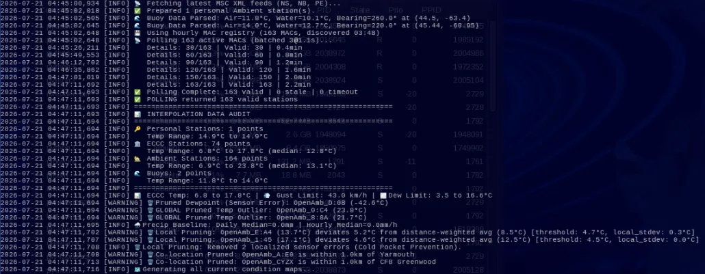
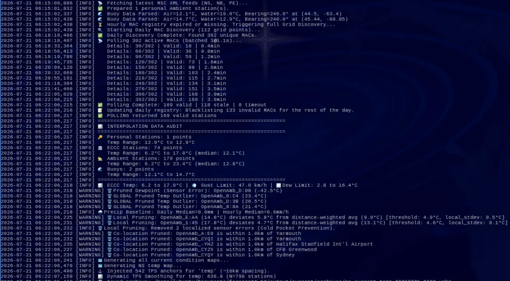
Mesonet & Personal Stations: Live telemetry from offshore NDBC buoys and the Ambient Weather personal station network, discovered via automated spatial grid scanning, polled and pruned on a rolling basis.
Earth Observation: GOES-16/18/19 full-disk GEOCOLOR satellite mosaics, NOAA MRMS radar composites, ECCC WMS precipitation radar, and NASA MUR 1 km Sea Surface Temperature via ERDDAP.

Processing
The pipeline is built around a custom spatial rendering engine:
Concurrent Grid Interrogation: For forecasts, the software generates a land-masked grid of several hundred individual coordinate nodes across the target region and queries NWP models for each node concurrently, producing a dense spatial dataset rather than relying on a single point forecast.
Multi-Source Sensor Fusion & Pruning: For current conditions, official ECCC/NWS observations, buoy telemetry, and personal station data are merged into a single observation pool. The software applies three layers of automated quality control—global physical clamping, distance-weighted local outlier detection, and co-location deduplication—to discard broken or erroneous sensors without erasing genuine localized signals like coastal–inland temperature gradients. More on Data and QC, especially as it relates to PWS data here.
Thin Plate Spline Interpolation with Synthetic Anchors: Cleaned observations are interpolated onto a continuous field using a Thin Plate Spline (TPS) radial basis function. To prevent void hallucination in data-sparse areas (between stations), the engine injects KDTree-derived synthetic anchor points tethered to local medians, forcing the interpolation to respect the regional gradient.
Automated Orchestration & Distribution: Background schedulers coordinate data fetching, map rendering, video encoding, and publication of web assets on fixed intervals—ranging from 5-minute alert polling to 6-hourly forecast cycles—without manual intervention.
Products
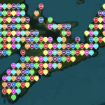
Nowcasting (0–12 h): Spatially continuous current-conditions maps (temperature, dewpoint, wind, gust, precipitation rate) for the Halifax area, Nova Scotia, Northwest Atlantic/Northeast US/Maritimes corridor, and continental North America. Satellite and radar overlays refresh on 5–10 minute cycles. Automated severe weather alerts are filtered to Nova Scotia forecast regions and published with geographic shading.
Short & Medium Term (12 h – 7 Days): Neighborhood-scale temperature, precipitation, and wind gust maps rendered from the interpolated NWP grid, accompanied by 120-hour and 15-day trend charts.
Extended & Climatology (7 – 30 Days): Ensemble confidence tracking, climate-normal anomaly detection against Environment Canada reference normals, and seasonal trend narratives.
Beach Index: Daily automated Sea Surface Temperature mapping (NASA MUR) combined with 2 PM-pegged air temperature, wind gust, UV index, and precipitation probability to produce a 0–100% beach-going suitability score for 40+ named beaches across three coastal regions.
Disclaimer
HFXwx is an independent, enthusiast-driven project. Use of official data sources does not imply affiliation with, endorsement from, or connection to any meteorological organization or government agency.
While HFXwx strives for accuracy, this content is experimental and provided “as is.” It is not a substitute for official forecasts or warnings and should not serve as the sole basis for life-safety or emergency weather-related decisions.