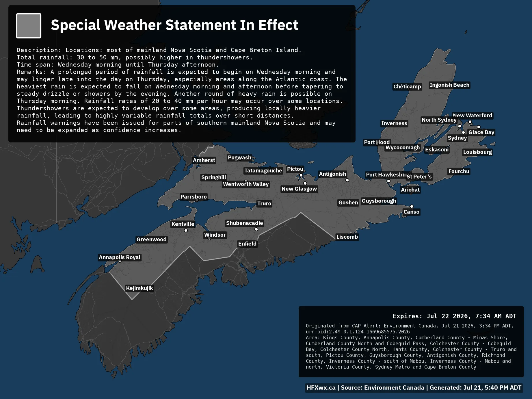
Total rainfall: 30 to 50 mm, possibly higher in thundershowers.
Time span: Wednesday morning until Thursday afternoon.
Remarks: A prolonged period of rainfall is expected to begin on Wednesday morning and may linger late into the day on Thursday, especially areas along the Atlantic coast. The heaviest rain is expected to fall on Wednesday morning and afternoon before tapering to steady drizzle or showers by the evening. Another round of heavy rain is possible on Thursday morning. Rainfall rates of 20 to 40 mm per hour may occur over some locations. Thundershowers are expected to develop over some areas, producing locally heavier rainfall, leading to highly variable rainfall totals over short distances.
Rainfall warnings have been issued for parts of southern mainland Nova Scotia and may need to be expanded as confidence increases.
Expires: Jul 22 2026, 7:34 AM ADT
Originated from CAP Alert: Environment Canada, Jul 21 2026, 3:34 PM ADT, urn:oid:2.49.0.1.124.1669685575.2026
Area: Kings County, Annapolis County, Cumberland County – Minas Shore, Cumberland County North and Cobequid Pass, Colchester County – Cobequid Bay, Colchester County North, Hants County, Colchester County – Truro and south, Pictou County, Guysborough County, Antigonish County, Richmond County, Inverness County – south of Mabou, Inverness County – Mabou and north, Victoria County, Sydney Metro and Cape Breton County